Collaborative Mapping of Pesticide-Use Limitation Areas
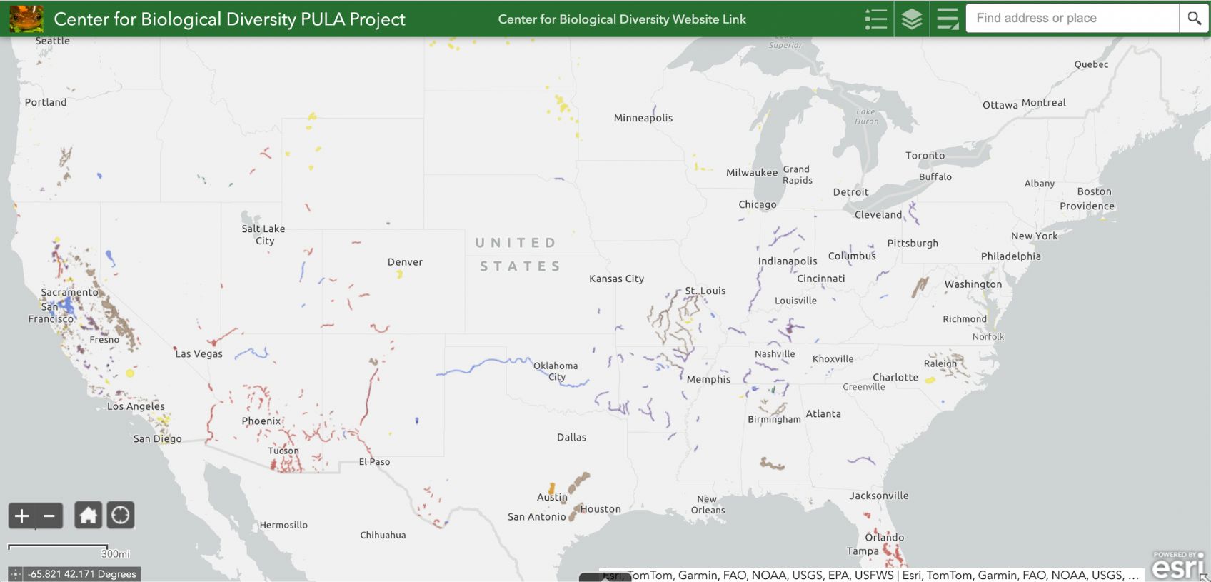
To help make sure federally protected species receive targeted, on-the-ground protections from pesticides, the Center for Biological Diversity is drafting maps of “pesticide-use limitation areas” — aka PULAs — for as many species as possible given existing knowledge and data limitations. Our draft maps use data and information from the U.S. Fish and Wildlife Service and a few other sources, like the California Natural Diversity Database, as well as open-source data. These draft PULA maps seek to identify specific areas where each listed species currently lives — they aren’t based on county-level information or the species’ range.
Explore our interactive mapper. Please note you'll need to click on a simple disclaimer before you can access the maps.
And email us any time if to provide feedback on a particular map.